Mapshaper
Before begin:
The mapshaper tool being introduced here is also available on R as rmapshaper or mapshaper in js.
In the world of geographic visualizations, one of the oldest file formats still control the large shares of all, namely, .shp. Many sites which provide geographic files offer at least including this format, and none of else are supported in Python. However, despite its dominance, this format is binary, meaning that modifications isn't straightforward. As well as this format indeed accompanies supporting files. (.cpg, .dbf, .prj, .shx)
Due to these characteristics, importing these files are done with special libraries. In Python, prominently, geopandas (opens in a new tab) modules. For many users who are using conda for python packages managements, the first step to geopandas has never been easy. Most likely, they have to create a new virtual environment to install the module, unless they downgrade the conda version to earlier ones.
Also, those characteristics make not every mapping tools to allow this file format, including my latest favorite, Pydeck (opens in a new tab). Indeed, Pydeck only allows geojson file format, which is indeed a structured json format, which is dedicated to geographic purposes.
Updates:
Pydeckalso allows geopandas byGeoJsonLayer(See the gallery section of Geopandas Integration (opens in a new tab).)
Hopefully, there are handful of resources to convert .shp format to geojson (the file extension can be either .geojson or .json), including the very website I'm gonna introduce, mapshaper.org (opens in a new tab)
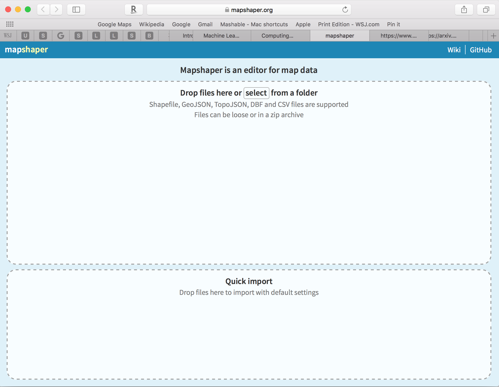
As can be seen from the below screenshot, interface is quite straightforward.
- Import by selecting or dragging and dropping files
- Export with the desired file formats

With this tool, you can proceed with modifications to serve your own purposes. For instance, extracting certain regions from the whole file or converting MultiPolygon to Single Polygon, last but not least, reducing file sizes by dissolving and simplifying. In fact, the last ones are important for faster map loadings, especially for web uses.
CC BY-NC 4.0 © min park.RSS